Sunday’s high temperature in Palo Alto was 102 degrees, breaking a 26-year record.
The previous high on Sept. 6 was 94 in 1998.
The National Weather Service has issued an excessive warning for the Bay Area that will continue through 9 p.m. Monday.
On a cooler thought, the record low maximum temperature on Sept. 6 was 69 degrees in 1980.
For Monday, the record high is 96 degrees in 1983. The forecast high for Monday is 99 degrees.
For the rest of the week, a bit of a cooling pattern should develop. The highs this week are forecast to be:
Tuesday — 95
Wednesday — 86
Thursday — 83
Friday — 80
Saturday — 80
Sunday — 79
The average high for this time of year is 80 degrees.
The National Weather Service temperature readings for Palo Alto come from the thermometer at the east end of Embarcadero Road at the airport.
(Some weather websites give readings from sensors in people’s backyards, but they’re not considered official readings from thermometers calibrated and monitored by the weather service. The Post strives for accuracy and doesn’t use information from those crowd-sourced weather sites.)
Redwood City had a high of 107 degrees on Sunday, besting the city’s 1958 record of 100 for that date, according to the weather service.
In downtown San Francisco, the high was 100 on Sunday, breaking the record of 92 in 1904; at SFO, the high reached 102, eight degrees hotter than the previous record of 94 set in 2004.
Sunday’s high temperatures in Napa (110 degrees), Kentfield (108) and Gilroy (112) equaled all-time high readings in those cities for September, said Brayden Murdock, a National Weather Service meteorologist.
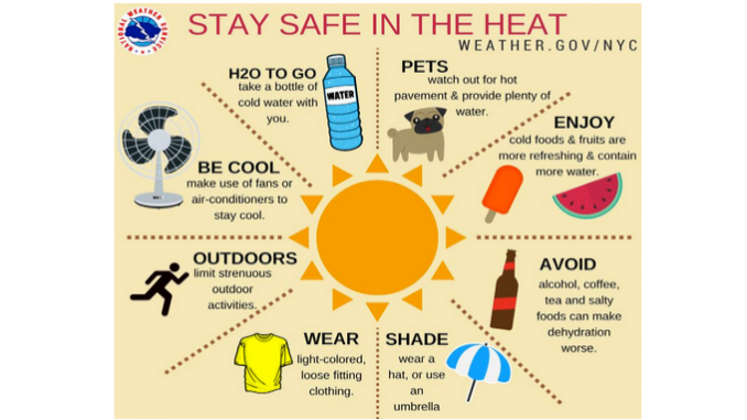
During the excessive heat warning, the weather service warns that heat-related illnesses such as heat exhaustion and stroke can occur, even to the general population. People most vulnerable include those who spend extended periods outdoors, those without air conditioning, young children, the elderly, and those with chronic illness. People are urged to take frequent breaks and drink lots of water.
A high pressure complex over the region will keep a stagnant air pattern in place, the weather service warns. With wildfires still burning around the region, smoke and haze will remain for several days. — From staff and wire reports
